|
source: a0030.jpg, 505x482 63kb a010035.html (file 2 / 190), 25 April 2005 |
Map of Bolivia backward | thumbnails | forward | text |
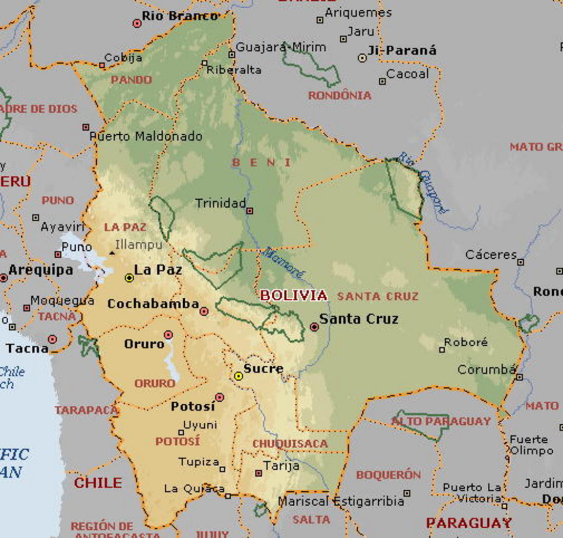
From August 2000 to August 2004, I had the good fortune to live in a small Guaraní community in the department of Chuquisaca, in southern Bolivia. People who know Bolivia associate Chuquisaca with the highlands and the town of Sucre, which is the seat of Bolivia's judiciary. The Cañón del Ingre, where I was, is far away: an obscure, forgotten region, even by Bolivian standards, in the lower foothills of the Andes. If there was a dot over the i in "Chuquisaca" on this map, it would just about pinpoint the community.
My time in Ingre was sponsored by the Mennonite Central Committee (MCC), which was responding to a request from the Council of Guaraní Captains of Chuquisaca (CCCh). The idea was that I'd mostly be promoting the use of horses in agriculture.
Of course my real hosts were the people of the community itself, people who became my teachers, my friends, and my family. This collection of pictures includes shots of the horses (who also became my friends) and other "work" activities I got involved in, but mostly, I hope, it will provide a glimpse of my neighbors and their community.